Argo Navis surveys, scans and processes data for a diverse set of industries.
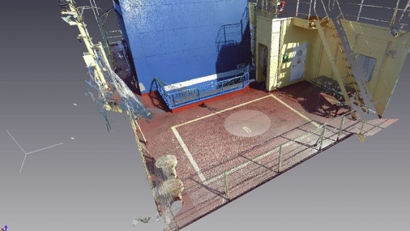
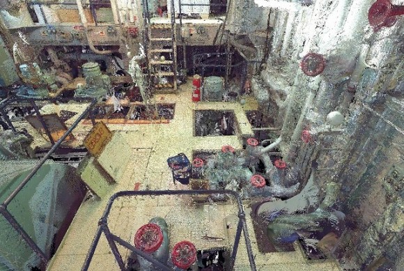
Clash Detection Surveys
Generation of as-built layout used for clash detection analysis in retrofits and installations.
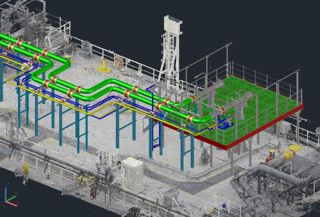
Reverse Engineering
Fusion of point cloud data from complex objects for use in design, engineering and manufacturing.
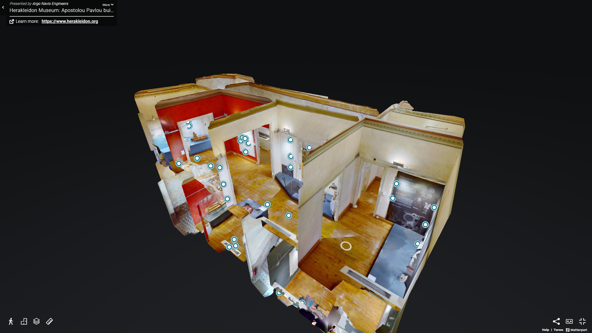
3D Model Creation
Creation of various level BIMs and surfaces for use in 3D libraries and applications.
Virtual Reality
Visualization and animation of point clouds for fly-through videos and VR applications.
3D Laser Scanning for engineers, by engineers.
Argo Navis surveyors are also design engineers, so they approach your project the same way you do.
Always on Call
We survey and laser scan anywhere in the world that’s convenient for your vessel or project.
Armed with Knowledge
Thanks to their design experience, our survey team is well versed on how best to survey and laser scan your project.
Experts in 3D Laser Scanning
0
3D Models Constructed
0
Vessels Scanned
0
Scanning Since
Have a look at what Argo Navis has been up to lately.
![]()